Trusted by transportation agencies for more than 20 years
AirSage has been involved in government projects for longer than any other mobility data company in North America. We are the only company to have worked with telecommunications datasets, mobile phone data and connected vehicle data for more than two decades. Our patented methodologies ensure consistent output despite the raw data changes. That’s why the Federal Highway Administration, NASA, MAG and many other DOT’s and MPO’s rely on AirSage for their transportation data needs.
Access the industry’s best-in class O-D trip matrices. AirSage output presents an aggregate of trips made within and between zones and is available from January 2017 to present.
Vehicle Trip Insights
Learn details of various vehicle trips made throughout the US and Canada. Data includes timestamps with unique vehicle IDs, exact vehicle location, instantaneous vehicle speed and heading.
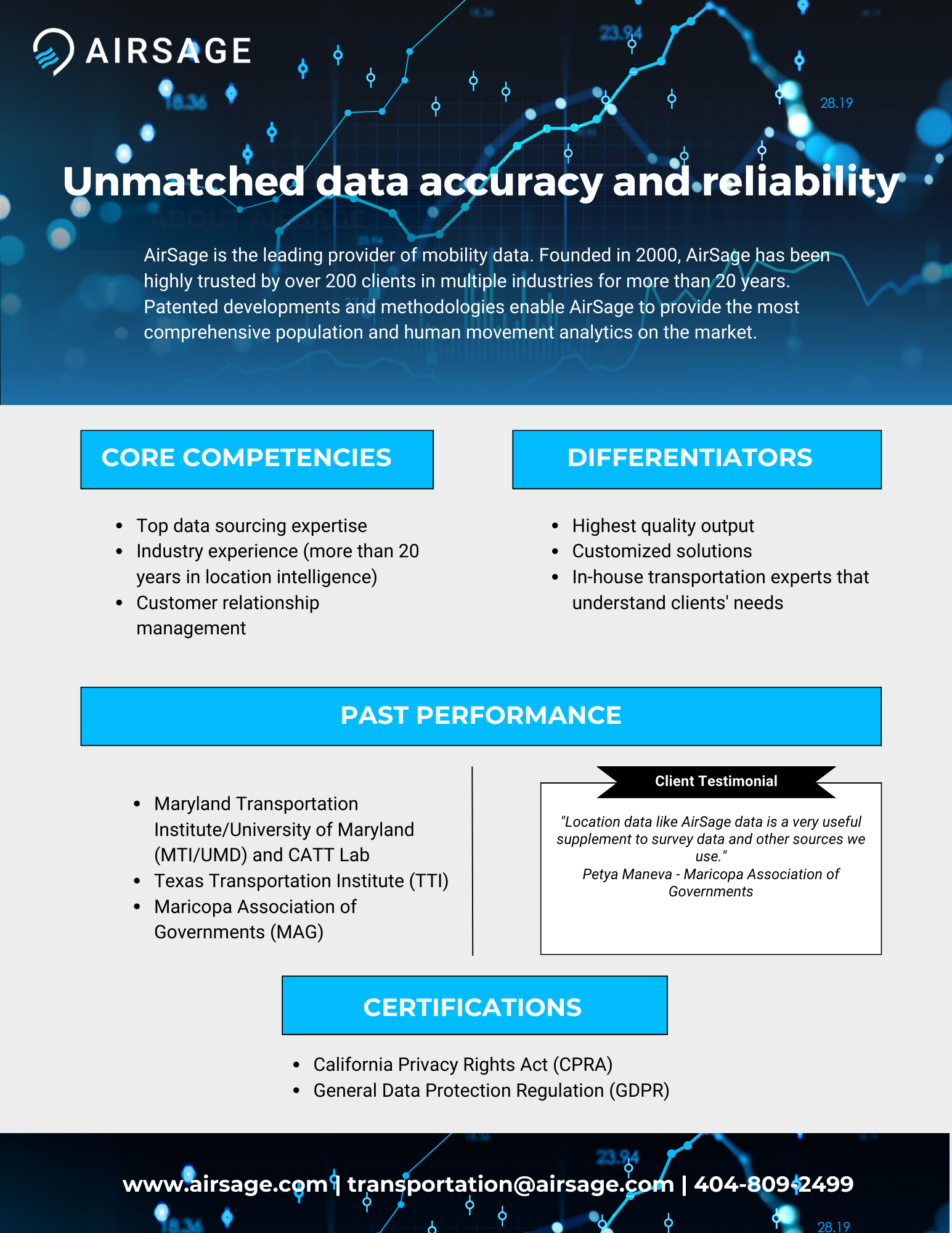
Customized Solutions
Due to AirSage's data sourcing expertise and knowledge of the transportation market, we are able to source data that suits your unique project needs. Tell us your problem, and we will find a solution.
"Location data like AirSage data is a very useful supplement to survey data and other sources we use."
We use cookies on our website to give you the most relevant experience by remembering your preferences and repeat visits. By clicking “Accept”, you consent to the use of ALL the cookies.
This website uses cookies to improve your experience while you navigate through the website. Out of these, the cookies that are categorized as necessary are stored on your browser as they are essential for the working of basic functionalities of the website. We also use third-party cookies that help us analyze and understand how you use this website. These cookies will be stored in your browser only with your consent. You also have the option to opt-out of these cookies. But opting out of some of these cookies may affect your browsing experience.
Necessary cookies are absolutely essential for the website to function properly. These cookies ensure basic functionalities and security features of the website, anonymously.
Cookie
Duration
Description
cookielawinfo-checkbox-analytics
11 months
This cookie is set by GDPR Cookie Consent plugin. The cookie is used to store the user consent for the cookies in the category "Analytics".
cookielawinfo-checkbox-functional
11 months
The cookie is set by GDPR cookie consent to record the user consent for the cookies in the category "Functional".
cookielawinfo-checkbox-necessary
11 months
This cookie is set by GDPR Cookie Consent plugin. The cookies is used to store the user consent for the cookies in the category "Necessary".
cookielawinfo-checkbox-others
11 months
This cookie is set by GDPR Cookie Consent plugin. The cookie is used to store the user consent for the cookies in the category "Other.
cookielawinfo-checkbox-performance
11 months
This cookie is set by GDPR Cookie Consent plugin. The cookie is used to store the user consent for the cookies in the category "Performance".
viewed_cookie_policy
11 months
The cookie is set by the GDPR Cookie Consent plugin and is used to store whether or not user has consented to the use of cookies. It does not store any personal data.
Functional cookies help to perform certain functionalities like sharing the content of the website on social media platforms, collect feedbacks, and other third-party features.
Performance cookies are used to understand and analyze the key performance indexes of the website which helps in delivering a better user experience for the visitors.
Analytical cookies are used to understand how visitors interact with the website. These cookies help provide information on metrics the number of visitors, bounce rate, traffic source, etc.
Advertisement cookies are used to provide visitors with relevant ads and marketing campaigns. These cookies track visitors across websites and collect information to provide customized ads.


